195,633 people live in Huntington Beach, where the median age is 43.3 and the average individual income is $62,375. Data provided by the U.S. Census Bureau.
Total Population
Median Age
Population Density Population Density This is the number of people per square mile in a neighborhood.
Average individual Income
There's plenty to do around Huntington Beach, including shopping, dining, nightlife, parks, and more. Data provided by Walk Score and Yelp.
Explore popular things to do in the area, including Atlas Stone Fitness, Lexin Lifestyle, and Finley Park.
| Name | Category | Distance | Reviews |
Ratings by
Yelp
|
|---|---|---|---|---|
| Active | 0.47 miles | 0 reviews | 0/5 stars | |
| Active | 0.83 miles | 0 reviews | 0/5 stars | |
| Active | 0.91 miles | 0 reviews | 0/5 stars | |
| Active | 0.91 miles | 0 reviews | 0/5 stars | |
| Beauty | 0.75 miles | 9 reviews | 3.2/5 stars | |
| Beauty | 0.76 miles | 0 reviews | 0/5 stars | |
| Beauty | 0.83 miles | 0 reviews | 0/5 stars | |
| Beauty | 0.83 miles | 0 reviews | 0/5 stars | |
| Beauty | 0.83 miles | 0 reviews | 0/5 stars | |
| Beauty | 0.83 miles | 1 review | 5/5 stars | |
| Beauty | 0.83 miles | 9 reviews | 5/5 stars | |
| Beauty | 0.83 miles | 0 reviews | 0/5 stars | |
| Beauty | 0.83 miles | 0 reviews | 0/5 stars | |
| Beauty | 0.83 miles | 0 reviews | 0/5 stars | |
| Beauty | 0.88 miles | 0 reviews | 0/5 stars | |
| Beauty | 0.88 miles | 0 reviews | 0/5 stars | |
| Beauty | 0.88 miles | 0 reviews | 0/5 stars | |
| Beauty | 0.88 miles | 7 reviews | 5/5 stars | |
| Beauty | 0.88 miles | 0 reviews | 0/5 stars | |
| Beauty | 0.88 miles | 0 reviews | 0/5 stars | |
| Beauty | 0.88 miles | 0 reviews | 0/5 stars | |
| Beauty | 0.89 miles | 0 reviews | 0/5 stars | |
| Beauty | 0.89 miles | 0 reviews | 0/5 stars | |
| Beauty | 0.89 miles | 0 reviews | 0/5 stars | |
|
|
||||
|
|
||||
|
|
||||
|
|
||||
|
|
||||
|
|
Huntington Beach has 77,302 households, with an average household size of 2.505. Data provided by the U.S. Census Bureau. Here’s what the people living in Huntington Beach do for work — and how long it takes them to get there. Data provided by the U.S. Census Bureau. 195,633 people call Huntington Beach home. The population density is 6,783 and the largest age group is Data provided by the U.S. Census Bureau.
Total Population
Population Density Population Density This is the number of people per square mile in a neighborhood.
Median Age
Men vs Women
Population by Age Group
0-9 Years
10-17 Years
18-24 Years
25-64 Years
65-74 Years
75+ Years
Education Level
Total Households
Average Household Size
Average individual Income
Households with Children
With Children:
Without Children:
Marital Status
Blue vs White Collar Workers
Blue Collar:
White Collar:
Stand at Main Street and Pacific Coast Highway and the first version of Huntington Beach is easy to see: the pier, the open sand and the numbered streets leading back into Downtown. Drive toward the Harbour and the water moves behind the houses. Head inland toward Central Park and the search turns toward yards, single-level floor plans and the route to work. Those are three different ways to live in the same coastal city, and each deserves its own set of comparable homes.
Huntington Beach homes range from oceanfront houses and Harbour properties to established detached-home neighborhoods and condominiums. Redfin reports an all-home-type median sale price of $1,371,313 for the three months ending July 2026, up 3.5% year over year. That citywide market snapshot is a starting point. Water frontage, housing type and the particular street determine which sales belong in your comparison.
Who it fits: buyers who want the coast in their weekly routine, with options for a walk to Downtown, sheltered-water living or an inland home with more emphasis on the floor plan and lot. Start by deciding which of those settings you will use every day. Then compare the commute, schools and ownership costs from the actual address.
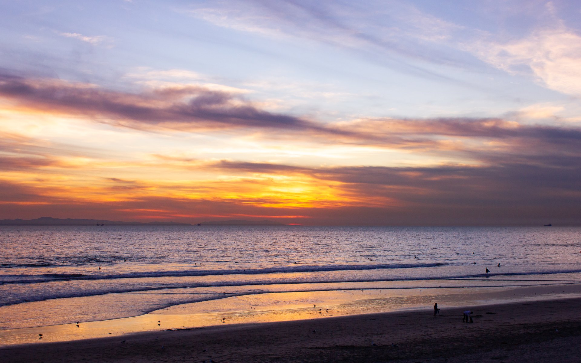
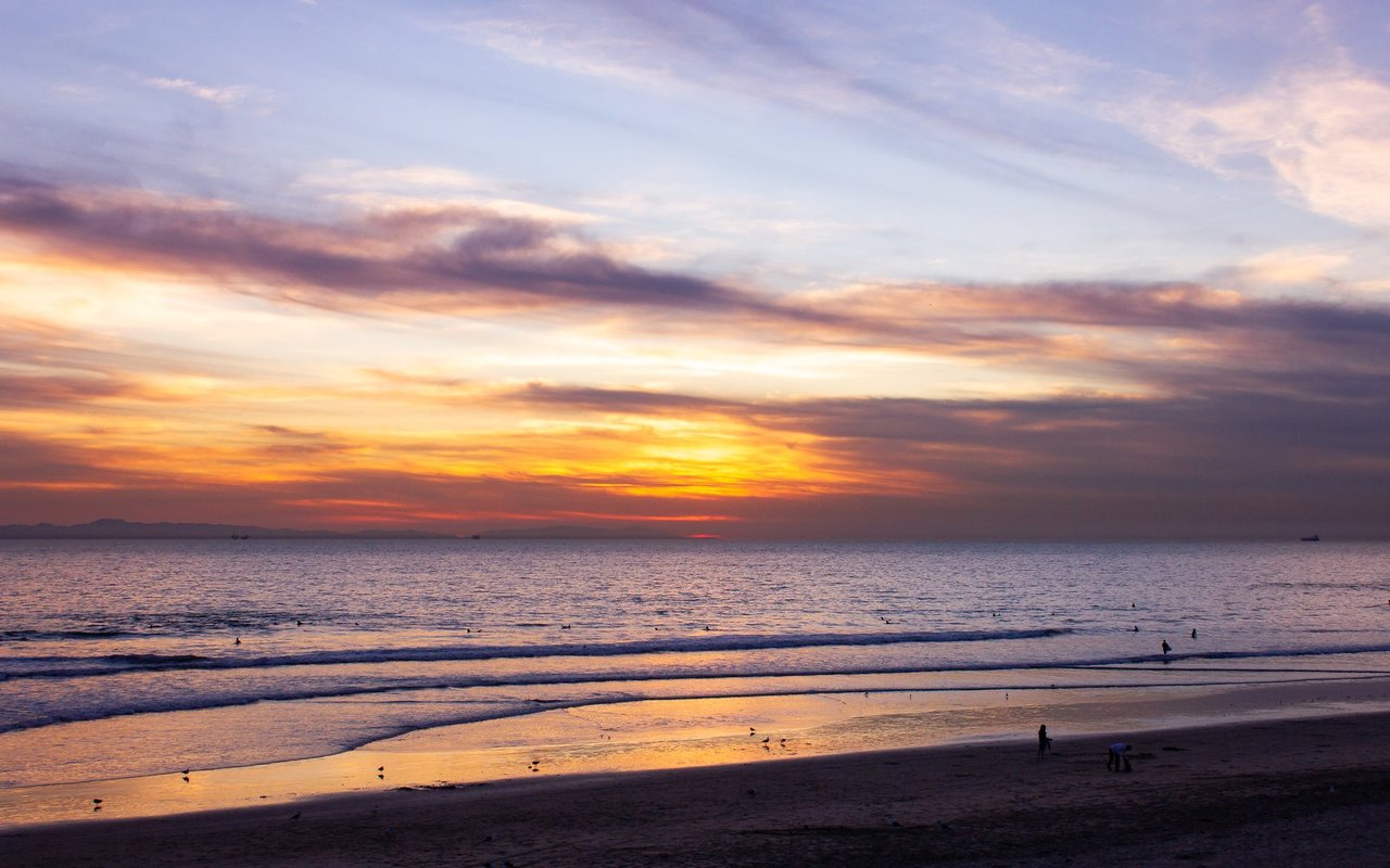
Sunset along the Huntington Beach shoreline, November 2011.
01 / The directory
Compare the Harbour, Downtown, planned coastal neighborhoods and inland streets by what you want at home: water access, a walk to the beach, a yard or an easier route to work.
Huntington Harbour. Visit Huntington Beach describes Huntington Harbour as a 1960s waterfront development with five man-made islands in the city's northwest corner. Its harbour guide, checked September 6, 2026, distinguishes this sheltered-water setting from the open-ocean beach. Waterfront and interior properties belong in separate comparison groups, even when the houses share a neighborhood name.
A boat owner should compare dock dimensions, recorded rights, the access route and the condition of the marine structures against the vessel they intend to keep. A buyer who wants the outlook without boating should weigh patio exposure, privacy and maintenance. Waterfront and interior Harbour homes can share a neighborhood name while offering very different ownership costs.
Sunset Beach. This coastal neighborhood retains a separate identity within Huntington Beach. The City annexed Sunset Beach on August 22, 2011, according to Visit Huntington Beach's historical walking tour. Its beach, greenbelt and Pacific Coast Highway frontage create different positions to compare. A home looking directly toward the ocean should not share an undifferentiated comparable-sales list with one facing highway activity.
Keep Sunset Beach separate in your shortlist. Its rental rules differ from the rest of the city, and school assignment needs an address check with the responsible district. Compare beach-facing, greenbelt and highway positions before treating two nearby listings as equivalent.
Downtown Huntington Beach. Main Street, the pier and the surrounding numbered streets concentrate the beach-town experience. The housing choices include older cottages, attached properties and replacement homes built to different plans. A useful tour compares the entire route between the front door and the places you expect to use, including street crossings, parking and the return trip with groceries or beach equipment.
Look closely at vertical living. A generous total floor area spread across several levels can feel very different from a single-story house. Check where the bedrooms sit, whether a ground-floor room meets your needs, and how the garage works with the vehicle you actually own. Outdoor space may be a patio, courtyard or roof deck rather than a conventional backyard. These are practical distinctions that photographs and bedroom filters do not explain.
Visit the Downtown block during the day and again when restaurants and public spaces are busy. Check guest parking, storage and the route home from the beach. For an attached property, review the association documents alongside the floor plan; nearby homes can have different shared obligations.
Seacliff and Holly-Seacliff. These names cover multiple housing settings around the golf-course area and adjoining planned neighborhoods. Detached homes, attached homes and different community arrangements require separate comparisons. The City's March 2017 planning background identifies Seacliff, Holly-Seacliff and Brightwater as distinct specific-plan areas, rather than one interchangeable coastal tract.
Compare the particular development, floor plan, lot position and governing documents. A view across open space, a street beside an entry point and an interior location offer different tradeoffs. Gate access, recreation privileges and club membership need their own verification. Purchasing near a golf course does not, by itself, establish access to the club or a guarantee about the future view.
Brightwater and the Bolsa Chica edge. Here the landscape near the ecological reserve becomes part of the housing decision. Buyers considering a planned neighborhood alongside protected habitat should examine the actual boundary, permitted access and the orientation of the house. A reserve outlook is different from an oceanfront position. The path visible beyond a fence may also have rules that matter to someone planning to cycle or walk a dog.
For Seacliff and Brightwater, make the association budget, reserve study and project documents part of the first comparison. Establish which exterior work is shared and which falls to the owner. That makes a quoted monthly due useful, especially when comparing an attached home with a detached property nearby.
The Adams, Hamilton, Magnolia and Brookhurst corridors. The southeast side offers a different starting point for buyers who prioritize a house, outdoor space and access toward the southern beach. Work street by street. The building's age, additions, lot layout and relationship to the larger roads matter more than a broad quadrant label. Compare original layouts with remodeled homes only after understanding what was actually changed.
In the older detached-home neighborhoods, compare the original floor plan with any additions, including the permit record. Roof, plumbing, electrical and drainage work deserve a place beside the remodeled kitchen in the budget. An expanded house and an original single-story may offer similar bedroom counts while making different use of the lot.
The home-to-beach route also deserves a test. A short straight-line distance can involve a busy road or an inconvenient crossing. The same applies to the drive toward the freeway and to everyday errands. Compare these streets with Costa Mesa when access to work and services matters as much as a coastal-city address.
Central Park and the inland street network. Around Talbert, Slater, Warner and the streets leading toward Beach Boulevard and Edinger, the comparison increasingly concerns the house itself and its everyday connections. Examine the exact block, park entrance and road frontage. A home near a park can be convenient without being directly connected to its paths, and a property close to shops can still require a car for the errands you make most often.
Condominiums and townhomes. Treat these as ownership choices, not simply lower-priced substitutes for detached houses. Compare stairs, shared walls, garage configuration, guest parking, outdoor space and the association's financial condition. Two similar asking prices can lead to different monthly commitments once dues, insurance and planned work are included. Confirm the legal property type and any financing constraints with the relevant professionals.
A Downtown attached home, an inland detached house and a planned-community property can all make the same budget shortlist. We compare their space, recurring costs and daily routes together, then tour the choices that best match your priorities.
Choosing between the Harbour, Downtown and an inland home? Ask Justin which neighborhood fits and tell us your budget and weekday routine.
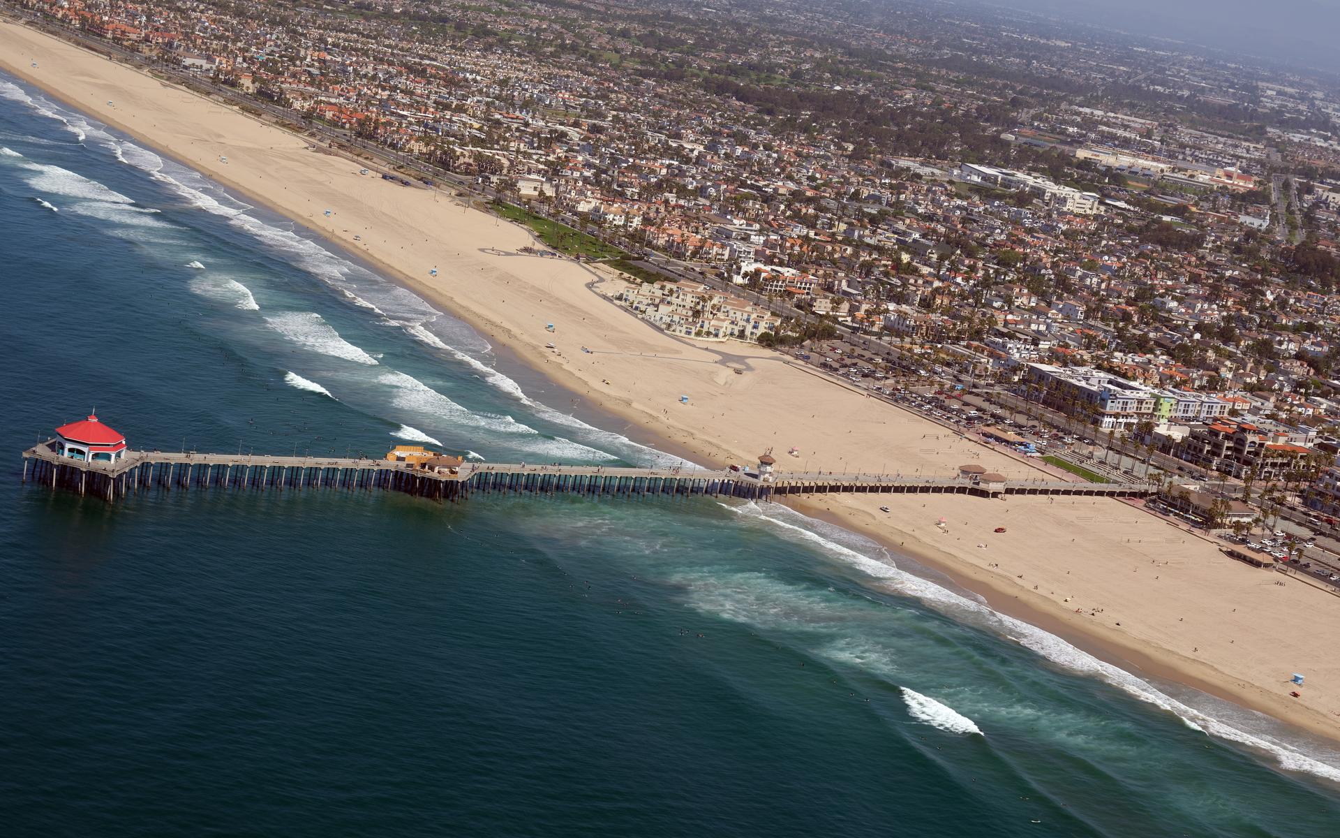
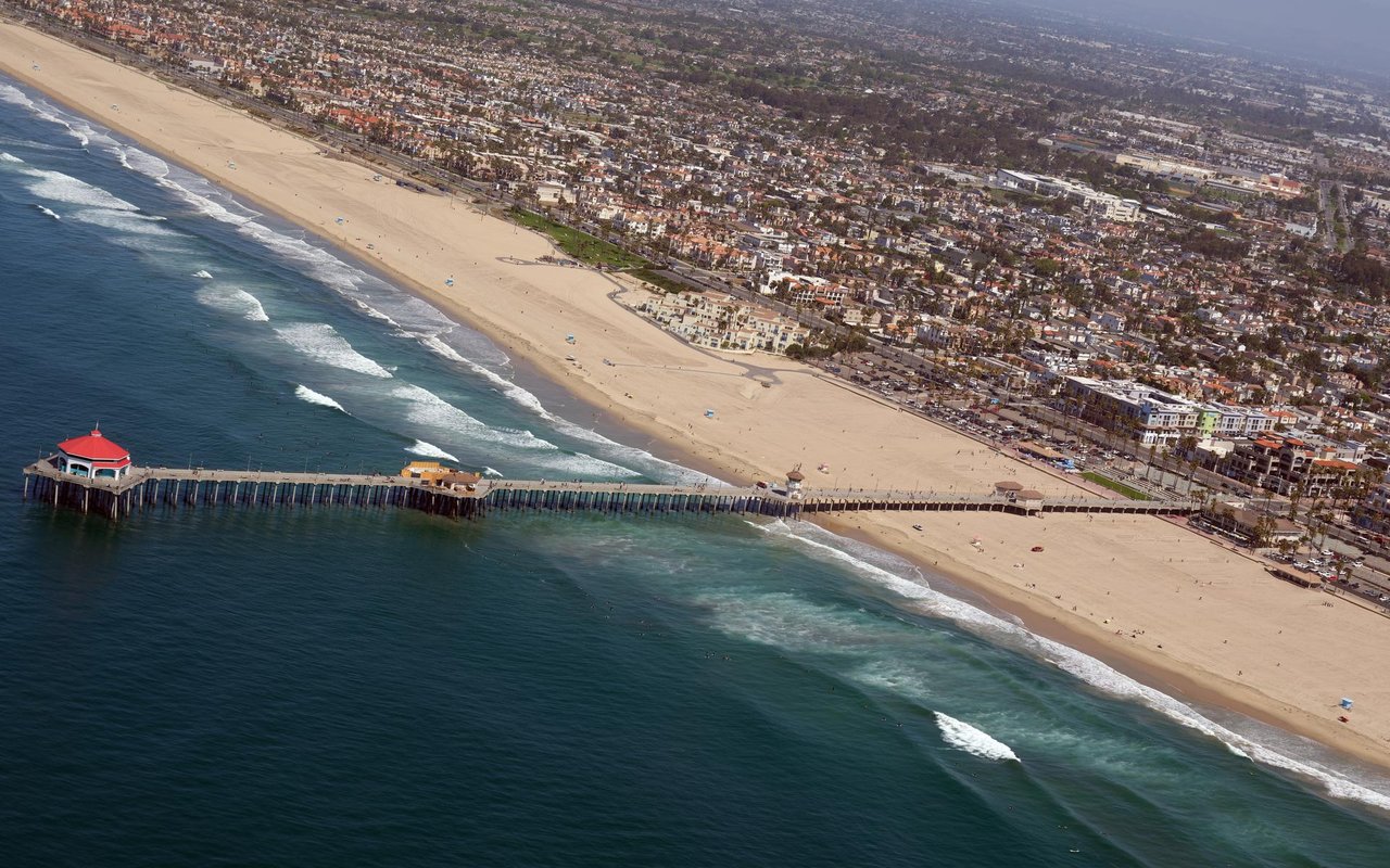
Huntington Beach Pier and the Downtown street grid, April 2026.
If your search includes waterfront alternatives in San Diego County, explore our Coronado coastal-home comparison. Its Village, Shores and Cays sections separate beach access, condominium responsibilities and bayfront boating questions. Compare each city’s commute and property documents before narrowing the shortlist.
02 / Prices
A Huntington Beach price comparison works best when location and ownership match. Water frontage, usable outdoor space, floor plan, condition and recurring obligations can separate homes that look similar in a search filter. Use the city median as orientation, then narrow the evidence to properties a buyer would realistically consider instead of yours.
Redfin recorded a median sale price of $1,371,313 and median time on market of 41 days across all home types for the three months ending July 2026. Its MLS and public-record report describes completed sales during that period. Use current competing listings alongside those closings when deciding how a particular home should be priced.
The comparison below organizes the costs and property features to check in each setting. Confirm dues, taxes and access rights against the specific address.
Setting | Home types | HOA / rights | Cost drivers | Compare |
|---|---|---|---|---|
Huntington Harbour | Waterfront and interior homes | Dock rights; association documents | Marine structures; insurance | Frontage and usable water access |
Downtown / Sunset | Cottages, houses and attached homes | Property type; rental eligibility | Coastal upkeep; parking; dues | Ocean, greenbelt or highway position |
Seacliff / Brightwater | Detached homes and townhomes | Exact tract and access rights | Dues; reserves; planned work | Lot, outlook and floor plan |
Southeast / inland | Established detached homes | Recorded restrictions; permits | Building systems; parcel taxes | Original or expanded; street position |
Condominiums | Flats and multilevel homes | Project rules and financing | Dues; insurance; assessments | Stairs, garage and outdoor space |
HOA and taxes are separate questions. Do not infer the presence or absence of an association from a neighborhood nickname. Request the recorded documents and current budget for the property. For parcel taxes, Orange County's OC Tax Map identifies levies and special assessments, including applicable community facilities district charges. Review the actual bill and discuss purchase-related tax changes with the appropriate tax professional; the seller's past payment is not your complete future budget.
Coastal ownership needs a property-specific file. Have an inspector assess the building and relevant exterior components. Where waterfront structures are involved, use professionals qualified to evaluate them. Request insurance quotations early enough to include actual availability, coverage and cost in the decision. A hazard designation and an insurance policy answer different questions, so review the disclosures and mapping alongside the insurer's terms.
Short-term rentals require separate verification. As checked September 6, 2026, Huntington Beach's Municipal Code Chapter 5.120 defines a short-term rental as 30 or fewer consecutive nights. It distinguishes Sunset Beach from the rest of the city, limits unhosted activity to qualifying Sunset Beach operations, and makes permits personal rather than transferable with the property. Ask the City to confirm the proposed use before treating advertised rental income as available to a new owner.
The useful numbers come from homes buyers would compare directly with yours. Ask for Huntington Beach comparables and include the neighborhood or address.
03 / Schools
Huntington Beach school assignments depend on the address and the grade level. Check the elementary district and high school district separately. The nearby-school list above helps identify campuses to research; the district locator and enrollment office establish which school serves the home.
Huntington Beach Union High School District states that it serves grades nine through twelve and that four separate elementary districts serve its geographic territory: Huntington Beach City, Ocean View, Fountain Valley and Westminster. Its feeder-district explanation, checked September 6, 2026, also says the high school district does not hold detailed boundaries for those elementary districts. That is a reason to check both levels separately.
For an address within Huntington Beach City School District, use its enrollment page and MySchoolLocator. For a high school address within HBUHSD, use the district's school locator. Addresses near district edges and in Sunset Beach warrant particular attention because municipal identity does not establish district membership. Ask the responsible district to confirm the result and any applicable transfer process.
Once the assignment is verified, compare the programs and logistics that matter to your household. Review current school information, visit when possible, and check the actual route, supervision arrangements and schedules. A nearby private school is a separate admissions decision. A rating alone does not describe a student's experience, and a school visible from the property may not be the assigned campus.
Keep the district confirmation with your property notes. For a new address, changed unit number or unclear locator result, contact enrollment staff before making school assignment part of an offer decision.
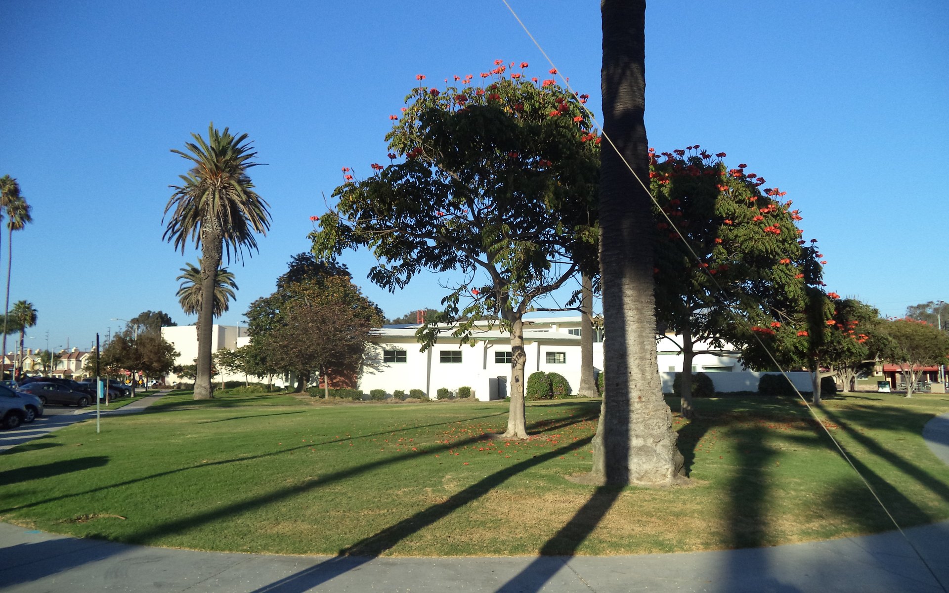
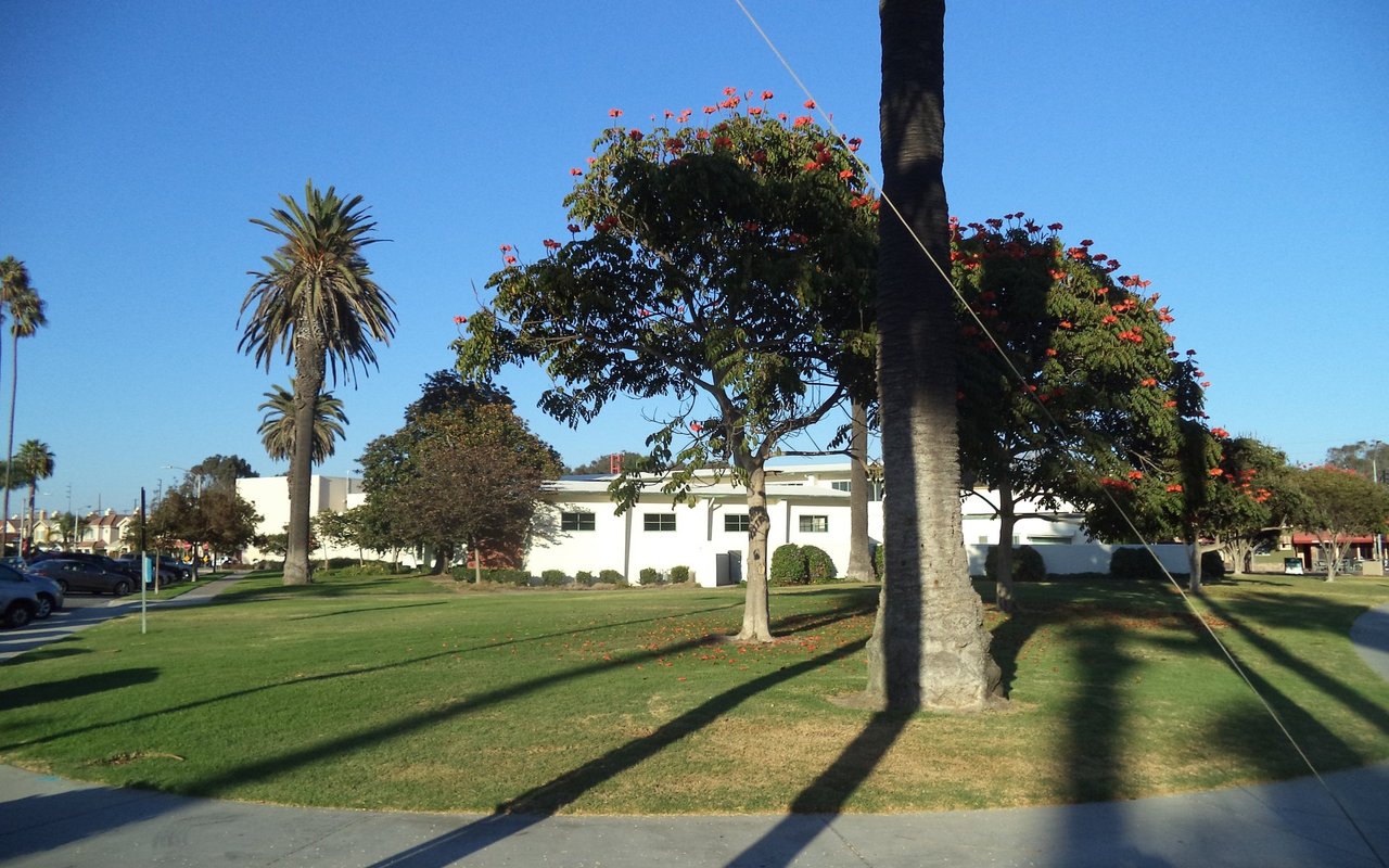
Triangle Park and the historic Main Street Library, September 2014.
04 / Commute
In Huntington Beach, the surface-road portion of a trip can be as important as the freeway portion. Start with the home's actual driveway, the destination and the hours you need to travel. A coast-first choice and a freeway-access choice may lead to different neighborhoods even within the same purchase budget.
Pacific Coast Highway connects the coastal districts. Beach Boulevard carries the central north-south route toward I-405, while the wider street network includes Goldenwest, Brookhurst, Warner, Edinger and Talbert. The City's municipal mapping is useful for checking the relationship between a parcel, the coast and nearby facilities. Use a current route planner for the actual trip rather than translating map distance into a fixed travel-time promise.
For work in Irvine, Costa Mesa or the airport area, compare the routes from each shortlisted property at your usual departure and return times. If your work is toward Long Beach or Los Angeles, repeat the exercise in that direction. Include parking and the final walk. John Wayne and Long Beach are airport options to evaluate against your flight schedule and ground route, not a guarantee that every Huntington Beach address is equally convenient.
OCTA's routes and schedules, updated August 9, 2026, list Route 1 between Long Beach and San Clemente, Route 29/A between La Habra and Huntington Beach, and Route 70 between Sunset Beach and Tustin. Check the individual route map, direction and departure times for the stops you would use. A route passing through the city does not mean that a particular home is within a comfortable walk of it.
Cycling and walking also depend on the connection, not just the distance. Test the crossing to a park, the place you would lock a bicycle and the route after dark. Coastal recreation paths and protected-habitat trails have different rules. If your plan includes a rail connection, map the first and last legs and consult the current transit schedule. That makes the commute comparison reproducible instead of relying on an optimistic tour-day drive.
05 / Daily life
A Huntington Beach weekend can begin on the sand, along a Bolsa Chica trail or at Central Park. Downtown and Pacific City put dining near the ocean; Bella Terra serves the inland shopping routine. The difference shows up in how often you use each place and how you get there from home.
Bolsa Chica Ecological Reserve in Huntington Beach contains more than 1,300 acres of coastal habitat and a four-mile public hiking-trail network, according to the California Department of Fish and Wildlife visitor guide, checked September 6, 2026. CDFW prohibits dogs and bicycles within the reserve. A view toward the wetlands therefore does not automatically provide the dog-walking or cycling route a buyer may imagine.
Huntington Central Park is described by Visit Huntington Beach as approximately 350 acres, divided into east and west areas. The park guide places the Central Library and sports complex on the east side, with Shipley Nature Center, the disc golf course and equestrian facilities among the west-side destinations. Identify the entrance for the activity you want; a house near one edge of the park may still be a drive from another facility.
Downtown and Pacific City concentrate shopping and dining near the ocean. The contrast is useful on a property tour: walk the street outside the house, then follow the route to the restaurants or shops you expect to use. Check current business information before planning around a particular tenant. The location of a commercial center is more durable than its individual restaurant lineup.
Bella Terra serves the inland side with an outdoor shopping setting near Beach Boulevard and Edinger. It belongs in the comparison for buyers whose routine centers on that part of the city. A nearby shopping destination can reduce some errands while increasing traffic on the roads around it. Visit the actual block at the hours that will matter to you.
On a tour day, leave time to walk the park entrance or shopping route you would actually use. Bring the questions that come with your routine: a place to lock a bicycle, a dog-walking route, room for beach equipment and the trip home with groceries. Those details help distinguish two otherwise similar houses.
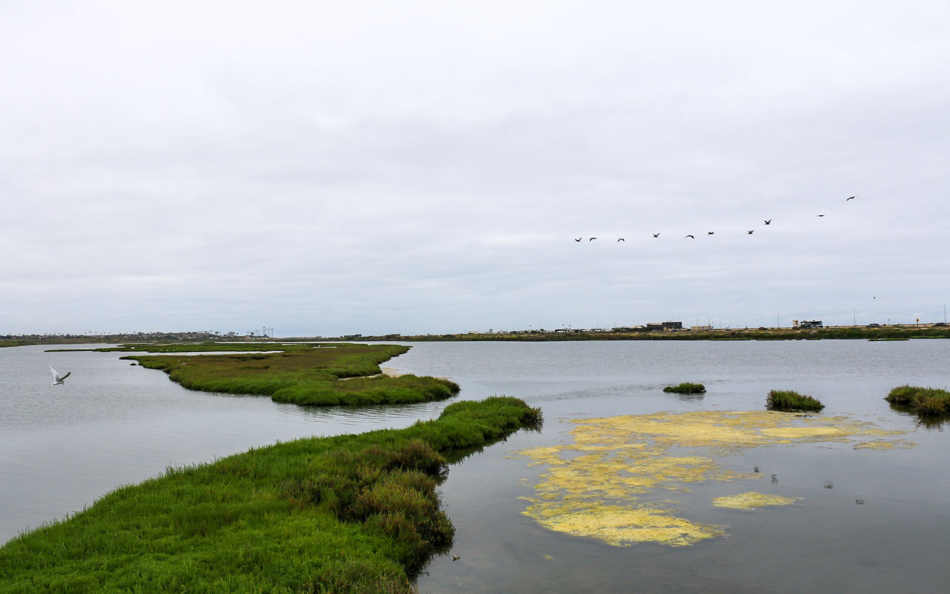
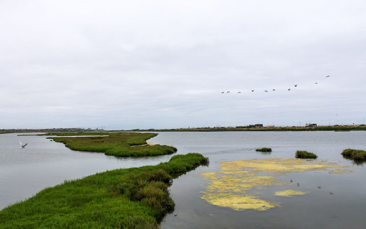
Open water and coastal habitat at Bolsa Chica Ecological Reserve, May 2024.
06 / Selling
A strong Huntington Beach listing explains the property's position precisely. For a harbour home, buyers need to understand the actual waterfront rights and facilities. For a Downtown home, usable levels, parking and outdoor space deserve clear presentation. For an inland house, the floor plan, lot arrangement and documented improvements may do more work than a coastal-city label. We begin by identifying the homes buyers will compare directly with yours, including active alternatives and recent relevant closings.
Preparation follows that comparison. Assemble permits and available improvement records, identify maintenance that deserves attention, and obtain current association documents where applicable. Photograph the property in light that describes it accurately, and show how the rooms and outdoor areas connect. Choose the listing schedule around the property's readiness and the target buyer's ability to see it. A fixed season or a citywide median cannot substitute for a property-specific presentation and pricing decision.
Justin Tye Real Estate Group can help organize that process from initial pricing discussion through marketing, showings, offer review and closing coordination. The service starts with a practical plan: what needs doing, which work is worthwhile for this sale, and how the evidence supports the asking position. Tell us whether you are moving locally, coordinating another purchase or considering a longer timeline so the recommendation fits the actual move.
Get your Huntington Beach home value
Start with our home-selling consultation for a property-specific conversation about value and preparation.
07 / Why Justin
Justin Tye and his team have 65 confirmed home sales in Huntington Beach, with 13,500+ team sales across the broader business. The local record includes a Dominica Circle house, a Kendall Drive purchase and attached homes on Lago Drive and Portola Court. That range matters when comparing the Harbour, detached-home neighborhoods and condominium communities: each needs its own pricing evidence.
Working with Justin Tye starts with the property and your next move. For buyers, we narrow the search, compare ownership costs and identify the documents to review before an offer. For sellers, we organize preparation, marketing and the asking-price decision around the homes buyers can choose today. Justin Tye is licensed as CA DRE# 01728694; the transactions below are team results.
Eight recent closings from our historical Huntington Beach records, with the side the team represented.
Street | ZIP | Closed | Sold price | Represented |
|---|---|---|---|---|
19748 Shorecliff | 92648 | Feb 2026 | $1,267,500 | Seller |
8255 Kendall Dr | 92646 | Sep 2025 | $1,400,000 | Buyer |
4861 Lago Drive #201 | 92649 | Dec 2024 | $538,000 | Seller |
8633 Portola Ct Unit 16E | 92646 | Dec 2024 | $485,000 | Buyer |
16047 Dominica Circle | 92649 | Oct 2023 | $2,035,000 | Buyer |
6842 Sylvia Drive | 92647 | Apr 2023 | $1,165,000 | Buyer |
6001 Vane Circle | 92647 | Mar 2023 | $1,055,500 | Buyer |
21132 Richmond Circle | 92646 | Nov 2022 | $1,495,000 | Buyer |
Source: compiled CRMLS Matrix and Zillow closing records, reviewed September 6, 2026. These are the eight most recent eligible closings in the historical file, deduplicated by date and normalized address. Buyer, seller and both-side records qualify; other-side records are excluded.
Call or text Justin at (949) 381-8581, send a note, or start a Huntington Beach search and save it for new-listing updates.
08 / Questions
Redfin's all-home-type median sale price was $1,371,313 over the three months ending July 2026, up 3.5% year over year. See the dated report and methodology. For a purchase or sale, narrow the comparison to the same housing type, location and condition rather than treating that citywide figure as the value of a particular home.
Huntington Harbour is a sheltered-water setting, while oceanfront property faces the open coast. Compare actual frontage, views, usable access and maintenance responsibilities. A harbour address does not establish a private dock entitlement. Review the property's recorded rights and relevant structures with qualified professionals before assigning value to boating access.
The answer depends on the property. Check association documents for dues and shared obligations, then examine parcel taxes separately using the current tax bill and Orange County's tax map. Neither the age of a home nor its neighborhood name establishes a citywide exemption from associations, assessments or other ownership costs.
Verify the address with the responsible district at both elementary and high school levels. HBUHSD's feeder-district guide explains why those boundaries must be checked separately. Use official enrollment and locator tools, especially near district edges and in Sunset Beach. The native nearby-schools list on this page does not establish attendance rights.
Do not assume that a seller's operation or permit transfers to you. The city code distinguishes hosted stays from qualifying unhosted Sunset Beach operations and states that permits do not run with the land. As checked September 6, 2026, the code's deadline for new unhosted Sunset Beach permits was March 1, 2022. Obtain a property-specific City determination before relying on that use.
Choose by routine and property needs. Downtown puts the pier and commercial streets at the center of the comparison; inland choices may better match a particular floor plan, yard or work route. Test parking, stairs, storage, road crossings and the commute from each actual address. There is no single best neighborhood for every household or budget.
Review the building, drainage, exterior components, permit history and applicable association records. Where marine structures exist, obtain the relevant specialist review. Read the property disclosures and obtain insurance quotations early. The inspections and documents should describe the exact home and proposed use, rather than assuming every property within a coastal ZIP shares the same condition or risk.
Start with recent closings and current alternatives that match your property's location, type, condition and ownership obligations. Separate water frontage from interior streets and attached homes from detached homes. Then account for documented improvements, needed work and the competition buyers can see now. Request a property-specific analysis before setting an asking price from a city median or an automated estimate alone.

Bella Terra shopping center in Huntington Beach, April 2022.
Get your Huntington Beach home value
For an inland western Orange County comparison, explore Cypress homes, neighborhoods and HOA considerations. Explore our Orange County real estate guide, compare Newport Beach, Costa Mesa and Irvine, or browse the broader neighborhood guide collection. For your next step, open the city search above, request a home valuation, read our buyer and seller articles, or contact Justin's team about the property you have in mind.
Photos: HB Pier by Don Ramey Logan, WPPilot (CC BY-SA 4.0); Triangle Park & Main Street Library, Kathy92648 (CC BY-SA 3.0); Forster's Tern and Brown Pelicans, Bolsa Chica, Joanna Gilkeson / USFWS (public domain); Bella Terra, Kennethshoe (CC BY-SA 4.0); Huntington Beach Sunset, Chad Davis (CC BY 2.0); Surfer, Huntington Beach, California, Pedro Szekely (CC BY-SA 2.0). Via Wikimedia Commons. Cropped to 16:10, resized and compressed; CC BY-SA adaptations retain the linked licenses.
Guide updated September 6, 2026. Market periods and source links appear beside the relevant facts.
For a nearby inland comparison centered on Mile Square Park, established detached homes and Green Valley association choices, explore Fountain Valley real estate.
For an inland comparison near Huntington Beach, explore Garden Grove and West Grove. Compare the specific home, park access, school assignment and daily route alongside the coastal options in this guide.
For a neighboring coastal comparison, explore Seal Beach homes and neighborhoods, including Old Town, College Park and the ownership distinctions within Leisure World.












.JPG)
.jpg)

.jpg)
.jpg)